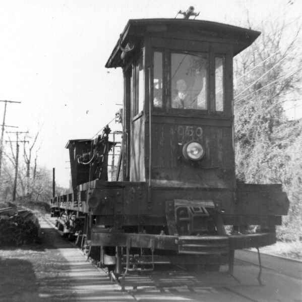
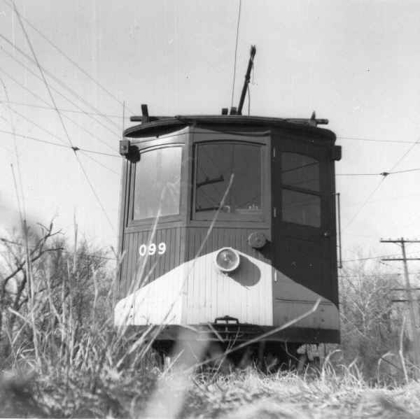
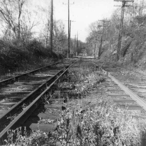
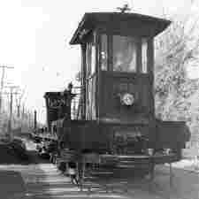
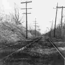
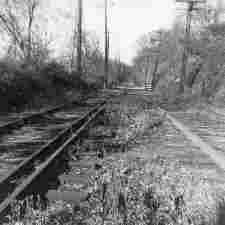
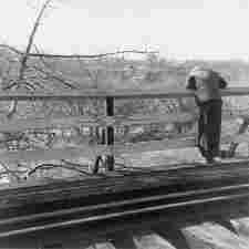
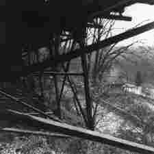
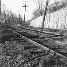
This page contains pictures taken of the Cabin John line on January 9,
1960, a few days after service was ended by D.C. Transit. Hill and a
companion walked the line starting from Georgetown in Washington, DC,
and proceeding into Maryland. Of the 35 pictures taken on that day, I
have 34, plus one other one taken in the late 1950's. All were
numbered by Hill from 1 to 36.
The images on this page have been extremely highly compressed so that
they will load quickly. Please click on any image to see a larger and
less compressed version, usually 35 to 45 kilobytes in size.
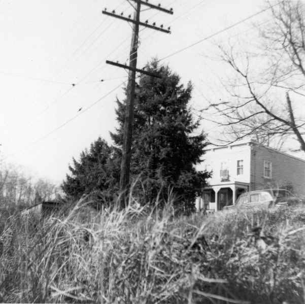
I have placed these pictures here to make them available, and to try
and confirm my efforts at determining the locations. Hill didn't
often identify photo locations on the back of the prints. I have used
two resources to help identify these locations,
Baist's Real Estate Atlas of Surveys of Washington District of
Columbia, Volume 3, 1960
and various editions of
Boyd's City Directory of the District of Columbia .
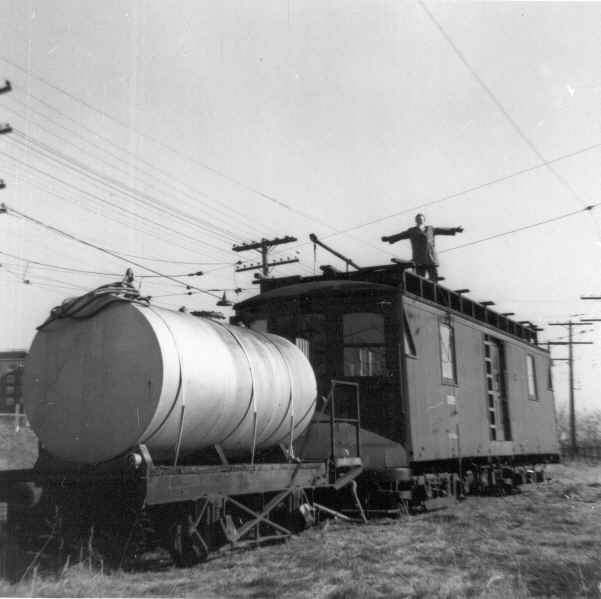
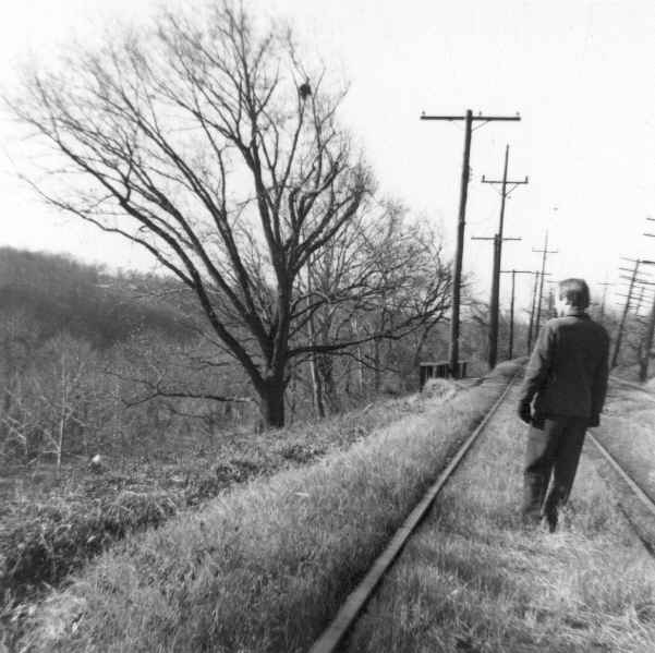
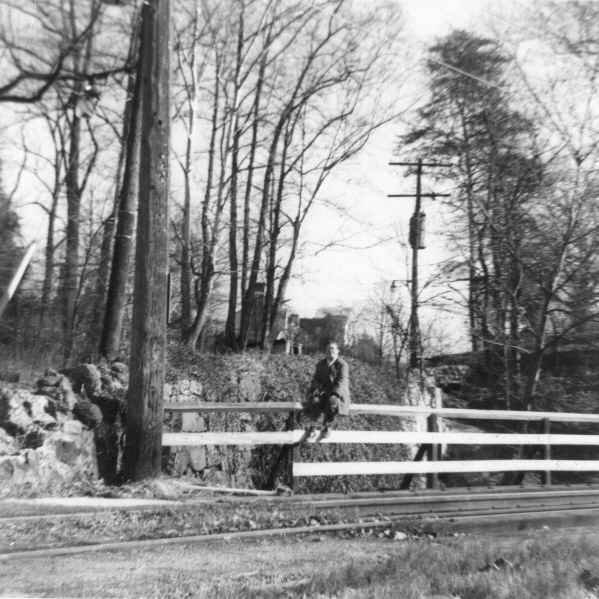
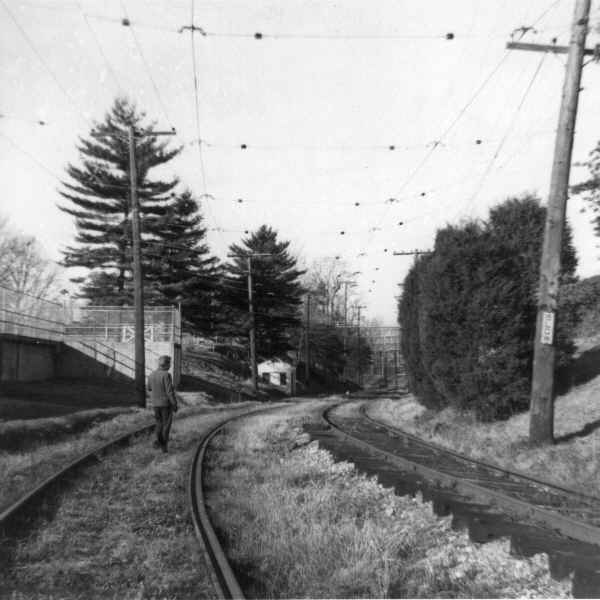
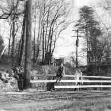
If anyone recognizes who came along to take pictures that day, I'd
love to know who it was. He's in photographs 6, 11, 17, and 22. (I
have a hunch it's Jefferson Randolph Kean.)
|
Photograph
|
Number
|
Location and Hill's Notes (in quotes)
|
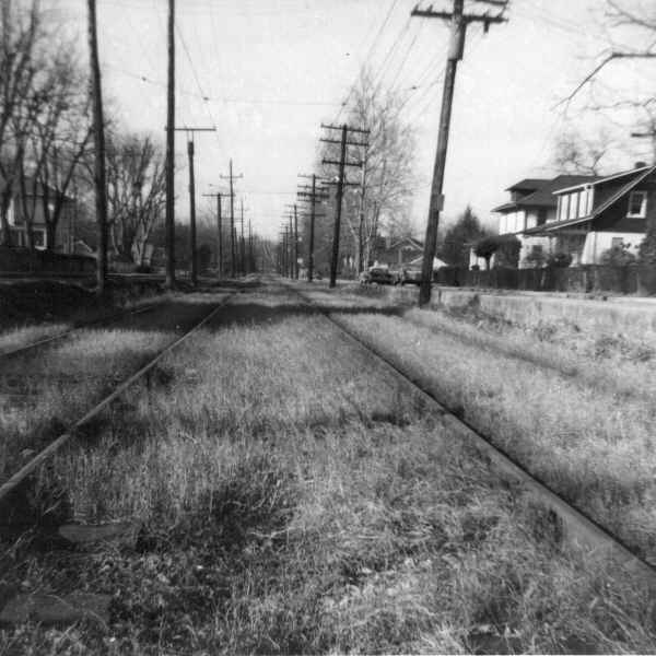
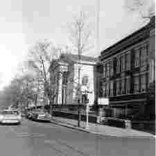 |
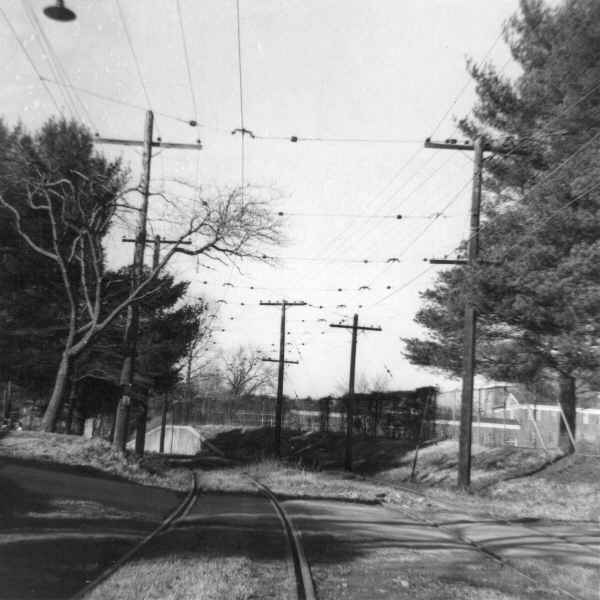
1.
|
36th & N St. NW
|
 |
2.
|
Prospect Ave. between 35th & 36th St. NW
|
 |
3.
|
Prospect Ave. & 37th St. NW
|
 |
4.
|
Georgetown University
|
 |
5.
|
Georgetown University
|
 |
6.
|
Georgetown University
|
 |
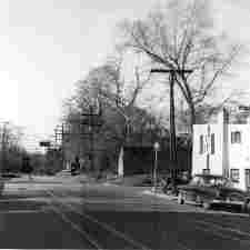
8.
|
West end of Georgetown University
|
 |
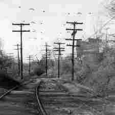
9.
|
Canal & Foxhall Rd. NW
|
 |
10.
|
Falls siding (former site of Falls Barn)
|
 |
11.
|
Falls siding (former site of Falls Barn)
|
 |
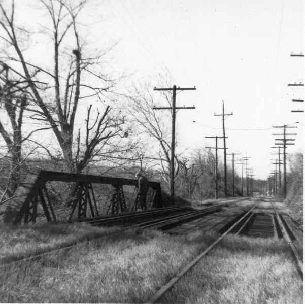
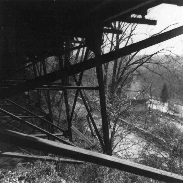
12.
|
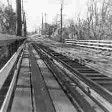
Bridge no. 2 looking west toward Foxhall Rd. & MacArthur Blvd. NW.
|
 |
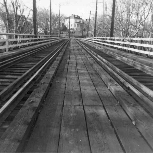
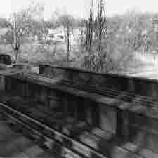
13.
|
Farm west of MacArthur Blvd. & Foxhall Rd. NW, in back of Harrison
School.
|
 |
14.
|
Farm west of MacArthur Blvd. & Foxhall Rd. NW, in back of Harrison
School.
|
 |
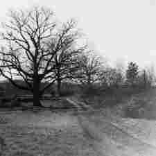
15.
|
Farm west of MacArthur Blvd. & Foxhall Rd. NW, in back of Harrison
School.
|
 |
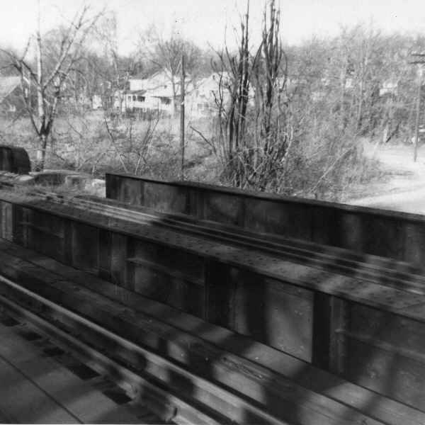
16.
|
Bridge no. 3, near Clark Pl. NW (?)
|
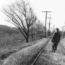 |
17.
|
Near Clark Pl. NW. About Stop 6.
|
 |
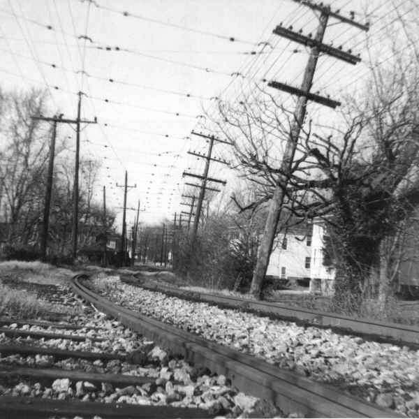
18.
|
Near Clark Pl. & Brewer Pl. NW
|
 |
19.
|
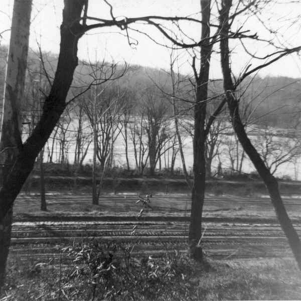
Georgetown Reservoir, looking southeast
|
 |
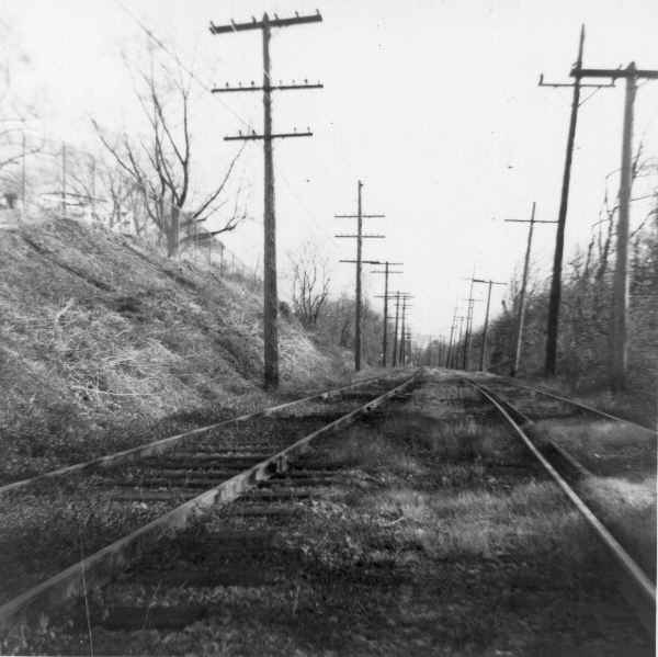
20.
|
East of Reservoir Rd. NW
|
 |
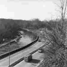
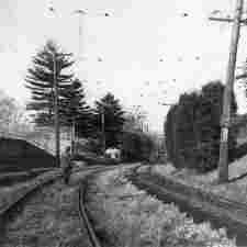
21.
|
East of Reservoir Rd. NW.
"Looking toward stop ten."
|
 |
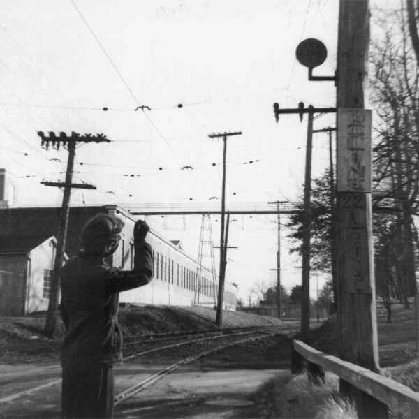
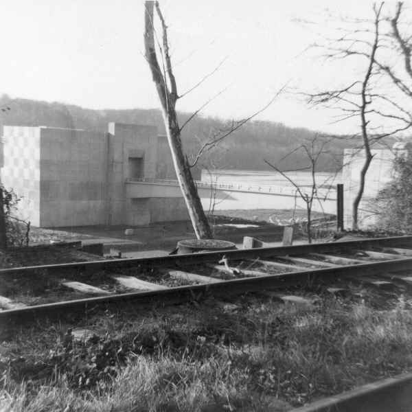
22.
|
Reservoir Rd. NW. Bridge 4. Stop 10.
"Stop ten - may favorite. You can't make out the waterfall. That
crane (to left of telegraph pole) is widening the street - which,
incidentally, leads to MacArthur Boulevard less than a block from the
MacArthur Theatre."
|
 |
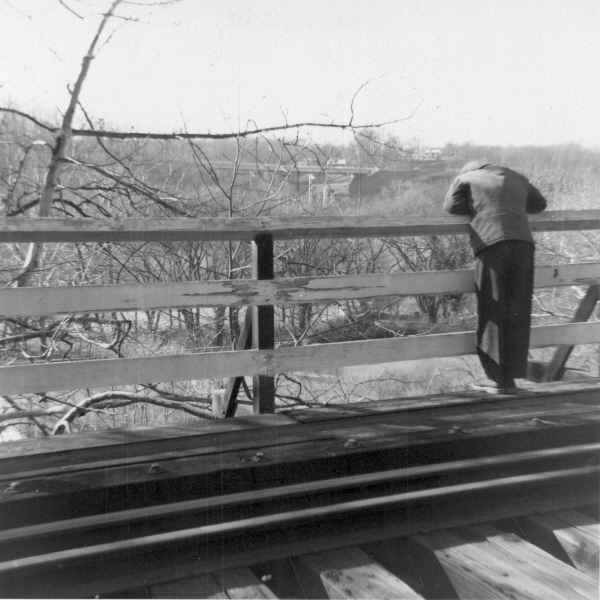
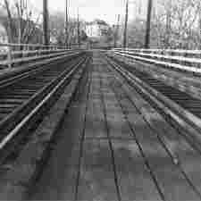
23.
|
Reservoir Rd. NW bridge. Stop 10.
|
 |
24.
|
Reservoir Rd. NW. Bridge 4. Stop 10.
|
 |
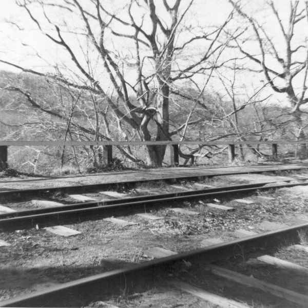
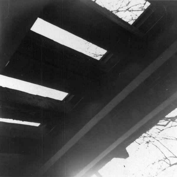
25.
|
Reservoir Rd. NW. Bridge 4.
"Under the bridge at stop ten. That's the boat house at the
right."
|
 |
26.
|
Bridge 6, over Arizona Ave. NW.
|
 |
27.
|
Weaver Pl. NW. Stop 15.
|
 |
28.
|
On Sherrier Pl. NW, probably approaching Macomb St.
|
 |
29.
|
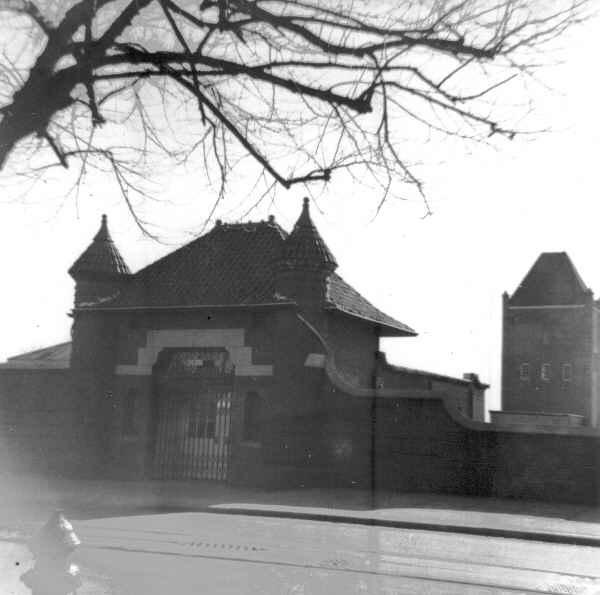
Dalecarlia.
"Approaching the water works."
|
 |
30.
|
Dalecarlia.
"The Dalecarlia station - but hey! what's the monster building
looming up?"
|
 |
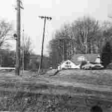
31.
|
District Line.
"The D.C. line at last!"
|
 |
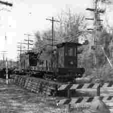
32.
|
Little Falls Branch trestle, south of Brookmont.
"Approaching brookmont."
|
 |
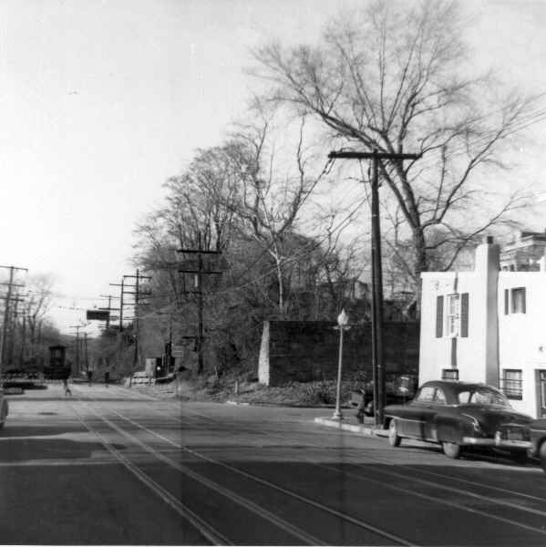
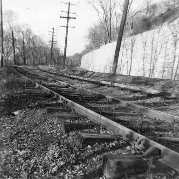
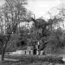
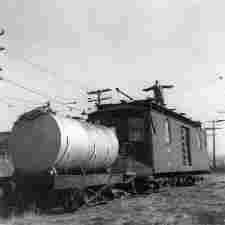
33.
|
Little Falls. "Tractor tracks."
|
 |
34.
|
Little Falls pumping station.
"The old and the new."
|
 |
35.
|
Brookmont
|
 |
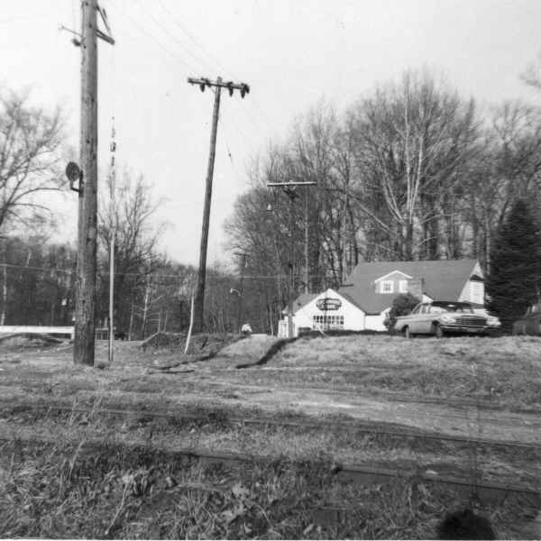
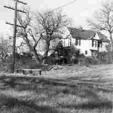
36.
|
Sycamore store.
"Late 1950's"
"(In case this is driving you crazy because you know
perfectly well that you were out of film by now and the
Sycamore Store didn't carry film, this was found with another
group of pictures taken some time before.)"
|